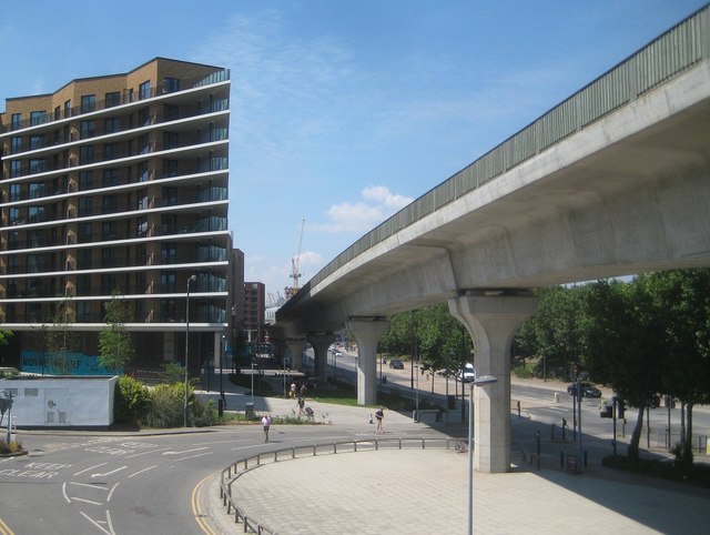
Docklands Light Railway: Elevated section west of Pontoon Dock Station
Introduction
The photograph on this page of Docklands Light Railway: Elevated section west of Pontoon Dock Station by Nigel Cox as part of the Geograph project.
The Geograph project started in 2005 with the aim of publishing, organising and preserving representative images for every square kilometre of Great Britain, Ireland and the Isle of Man.
There are currently over 7.5m images from over 14,400 individuals and you can help contribute to the project by visiting https://www.geograph.org.uk

Image: © Nigel Cox Taken: 13 Jul 2018
There was once a labyrinth of street level railway lines in this area serving the docks, and the Docklands Light Railway here follows the route of the spine of that network, albeit at an elevated level. The street to the right is the A1020 North Woolwich Road, while Mercier Court is the building to the left.

