Track and bridleway to College Fields
Introduction
The photograph on this page of Track and bridleway to College Fields by Jonathan Billinger as part of the Geograph project.
The Geograph project started in 2005 with the aim of publishing, organising and preserving representative images for every square kilometre of Great Britain, Ireland and the Isle of Man.

There are currently over 7.5m images from over 14,400 individuals and you can help contribute to the project by visiting https://www.geograph.org.uk
Track and bridleway to College Fields
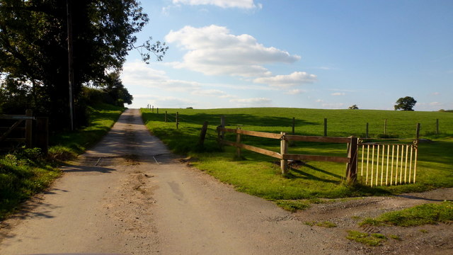
Image: © Jonathan Billinger Taken: 5 Sep 2018
The cattle grid is the end of the public road from Dorrington.
Images are licensed for reuse under creativecommons.org/licenses/by-sa/2.0
Image Location
Latitude
52.970653
Longitude
-2.419866