Lesmahagow
Introduction
The photograph on this page of Lesmahagow by M J Richardson as part of the Geograph project.
The Geograph project started in 2005 with the aim of publishing, organising and preserving representative images for every square kilometre of Great Britain, Ireland and the Isle of Man.

There are currently over 7.5m images from over 14,400 individuals and you can help contribute to the project by visiting https://www.geograph.org.uk
Lesmahagow
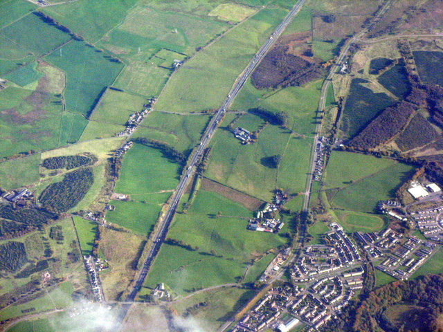
Image: © M J Richardson Taken: 5 Oct 2018
The southern edge of the village, looking southeast. The M74[L] and B7078[R] run southwards, from lower left to upper right.
Images are licensed for reuse under creativecommons.org/licenses/by-sa/2.0
Image Location
Latitude
55.631077
Longitude
-3.877403