Rhostyllen parish hall
Introduction
The photograph on this page of Rhostyllen parish hall by Richard Hoare as part of the Geograph project.
The Geograph project started in 2005 with the aim of publishing, organising and preserving representative images for every square kilometre of Great Britain, Ireland and the Isle of Man.

There are currently over 7.5m images from over 14,400 individuals and you can help contribute to the project by visiting https://www.geograph.org.uk
Rhostyllen parish hall
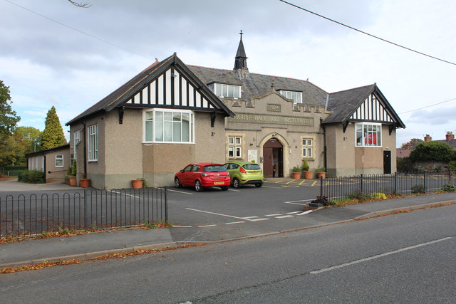
Image: © Richard Hoare Taken: 8 Oct 2018
Built 1924 it serves a community run playgroup, amongst many other ventures.
Images are licensed for reuse under creativecommons.org/licenses/by-sa/2.0
Image Location
Latitude
53.031379
Longitude
-3.028832