Path at Hawthornhill
Introduction
The photograph on this page of Path at Hawthornhill by Lairich Rig as part of the Geograph project.
The Geograph project started in 2005 with the aim of publishing, organising and preserving representative images for every square kilometre of Great Britain, Ireland and the Isle of Man.

There are currently over 7.5m images from over 14,400 individuals and you can help contribute to the project by visiting https://www.geograph.org.uk
Path at Hawthornhill
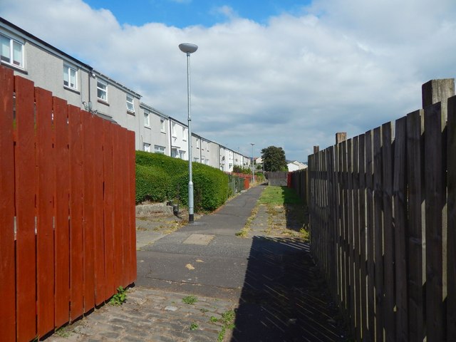
Image: © Lairich Rig Taken: 13 Jul 2018
To stay on the path to Dalmoak that is mentioned in the end-note, it is necessary to turn left just ahead: see Image for the view from just around the corner.
Images are licensed for reuse under creativecommons.org/licenses/by-sa/2.0
Image Location
Latitude
55.950885
Longitude
-4.600841