Coventry from Hill Top
Introduction
The photograph on this page of Coventry from Hill Top by David Stowell as part of the Geograph project.
The Geograph project started in 2005 with the aim of publishing, organising and preserving representative images for every square kilometre of Great Britain, Ireland and the Isle of Man.

There are currently over 7.5m images from over 14,400 individuals and you can help contribute to the project by visiting https://www.geograph.org.uk
Coventry from Hill Top
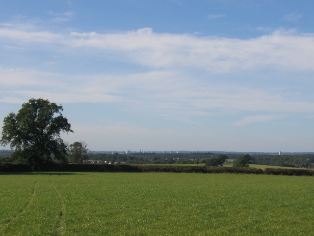
Image: © David Stowell Taken: 24 Sep 2005
Looking west from the footpath towards Stretton on Dunsmore, with the tower blocks and spires of Coventry visible in the distance.
Images are licensed for reuse under creativecommons.org/licenses/by-sa/2.0
Image Location
Latitude
52.366894
Longitude
-1.374309