Watling Street, Pont
Introduction
The photograph on this page of Watling Street, Pont by Oliver Dixon as part of the Geograph project.
The Geograph project started in 2005 with the aim of publishing, organising and preserving representative images for every square kilometre of Great Britain, Ireland and the Isle of Man.

There are currently over 7.5m images from over 14,400 individuals and you can help contribute to the project by visiting https://www.geograph.org.uk
Watling Street, Pont
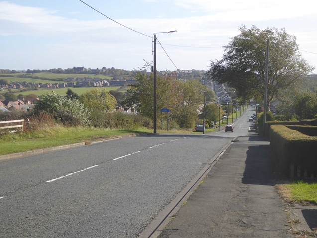
Image: © Oliver Dixon Taken: 2 Oct 2018
The B6309 to the north of the village of Leadgate. This road lies along the course of the ancient Dere Street.
Images are licensed for reuse under creativecommons.org/licenses/by-sa/2.0
Image Location
Latitude
54.868218
Longitude
-1.81689