Savile Park Road / Rothwell Road Junction
Introduction
The photograph on this page of Savile Park Road / Rothwell Road Junction by Stephen Armstrong as part of the Geograph project.
The Geograph project started in 2005 with the aim of publishing, organising and preserving representative images for every square kilometre of Great Britain, Ireland and the Isle of Man.

There are currently over 7.5m images from over 14,400 individuals and you can help contribute to the project by visiting https://www.geograph.org.uk
Savile Park Road / Rothwell Road Junction
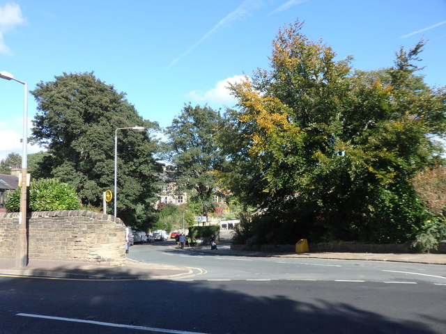
Image: © Stephen Armstrong Taken: 24 Sep 2018
There is an OS Cut Benchmark Image on the wall just before it curves down Rothwell Road.
Images are licensed for reuse under creativecommons.org/licenses/by-sa/2.0
Image Location
Latitude
53.714419
Longitude
-1.871931