The village hall at Sturton by Stow
Introduction
The photograph on this page of The village hall at Sturton by Stow by Marathon as part of the Geograph project.
The Geograph project started in 2005 with the aim of publishing, organising and preserving representative images for every square kilometre of Great Britain, Ireland and the Isle of Man.

There are currently over 7.5m images from over 14,400 individuals and you can help contribute to the project by visiting https://www.geograph.org.uk
The village hall at Sturton by Stow
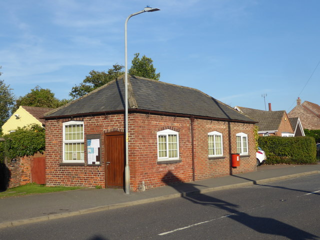
Image: © Marathon Taken: 29 Sep 2018
Stow with its magnificent church is much smaller than Sturton by Stow a mile to the south. This view looks along the Roman road (now the A1500 Tillbridge Road) just past the crossroads at the centre of the village. There is a general store, as well as the Plough Inn and other facilities. The village hall is just across the road here.
Images are licensed for reuse under creativecommons.org/licenses/by-sa/2.0
Image Location
Latitude
53.312422
Longitude
-0.664279