Cowfold: semi-detached houses by the A281
Introduction
The photograph on this page of Cowfold: semi-detached houses by the A281 by Stefan Czapski as part of the Geograph project.
The Geograph project started in 2005 with the aim of publishing, organising and preserving representative images for every square kilometre of Great Britain, Ireland and the Isle of Man.

There are currently over 7.5m images from over 14,400 individuals and you can help contribute to the project by visiting https://www.geograph.org.uk
Cowfold: semi-detached houses by the A281
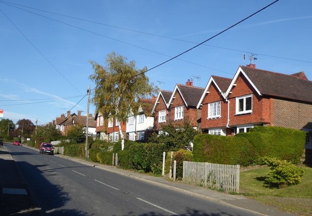
Image: © Stefan Czapski Taken: 5 Oct 2018
Looking north towards the village centre. Much of Cowfold these days is suburban in character.
Images are licensed for reuse under creativecommons.org/licenses/by-sa/2.0
Image Location
Latitude
50.987327
Longitude
-0.272887