Sliproad to the A171, Slapewath
Introduction
The photograph on this page of Sliproad to the A171, Slapewath by Maigheach-gheal as part of the Geograph project.
The Geograph project started in 2005 with the aim of publishing, organising and preserving representative images for every square kilometre of Great Britain, Ireland and the Isle of Man.

There are currently over 7.5m images from over 14,400 individuals and you can help contribute to the project by visiting https://www.geograph.org.uk
Sliproad to the A171, Slapewath
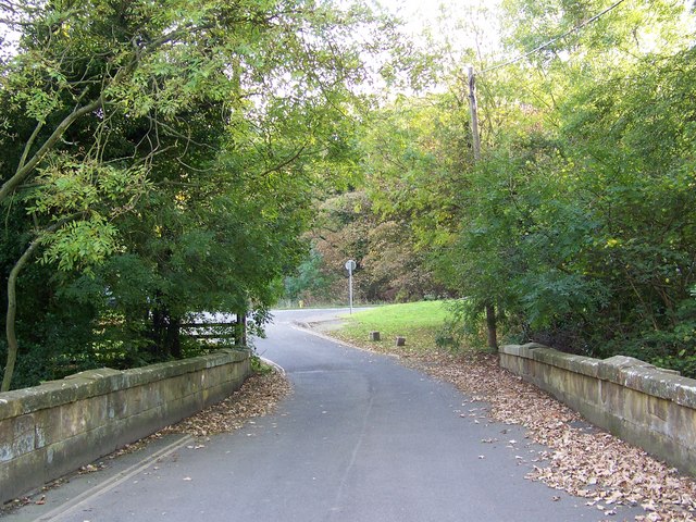
Image: © Maigheach-gheal Taken: 18 Oct 2007
The slip road takes you back to the A171 from the Fox and Hounds public house.
Images are licensed for reuse under creativecommons.org/licenses/by-sa/2.0
Image Location
Latitude
54.533489
Longitude
-1.007531