
National Cycle Network passing under Jerusalem Road
Introduction
The photograph on this page of National Cycle Network passing under Jerusalem Road by Marathon as part of the Geograph project.
The Geograph project started in 2005 with the aim of publishing, organising and preserving representative images for every square kilometre of Great Britain, Ireland and the Isle of Man.

There are currently over 7.5m images from over 14,400 individuals and you can help contribute to the project by visiting https://www.geograph.org.uk
National Cycle Network passing under Jerusalem Road
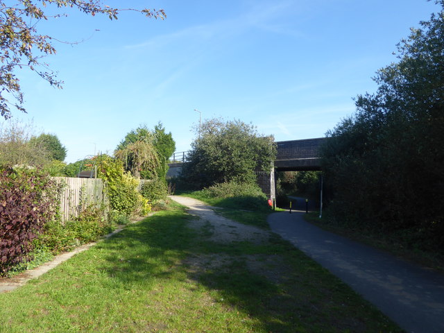
Image: © Marathon Taken: 29 Sep 2018
This is the view from the cycle track on the western edge of Skellingthorpe village. It is part of the National Cycle Network. It follows the route of a former railway line which was opened in March 1897 by the Lancashire, Derbyshire & East Coast Railway on its main line from Chesterfield to Lincoln. It was closed by British Railways in 1955, although freight and passenger trains continued to pass for some years after that. The site of Skellingthorpe station was a little way to the east at Lincoln Road which is the next road in this direction - see https://maps.nls.uk/geo/explore/#zoom=14&lat=53.2363&lon=-0.6217&layers=11&b=1 For the history of the Lancashire, Derbyshire & East Coast Railway see https://en.wikipedia.org/wiki/Lancashire,_Derbyshire_and_East_Coast_Railway
Images are licensed for reuse under creativecommons.org/licenses/by-sa/2.0
Image Location

Latitude
53.232465
Longitude
-0.621223