Bridge Street
Introduction
The photograph on this page of Bridge Street by Simon Carey as part of the Geograph project.
The Geograph project started in 2005 with the aim of publishing, organising and preserving representative images for every square kilometre of Great Britain, Ireland and the Isle of Man.

There are currently over 7.5m images from over 14,400 individuals and you can help contribute to the project by visiting https://www.geograph.org.uk
Bridge Street
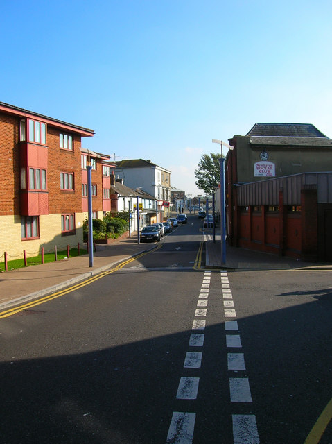
Image: © Simon Carey Taken: 23 Oct 2007
Once the A259 until the southern and northern ring roads were built. Remained open to traffic unlike High Street though only as a service road for the local shops. Taken from the junction of Chapel Street.
Images are licensed for reuse under creativecommons.org/licenses/by-sa/2.0
Image Location
Latitude
50.7944
Longitude
0.050612