High Street
Introduction
The photograph on this page of High Street by Simon Carey as part of the Geograph project.
The Geograph project started in 2005 with the aim of publishing, organising and preserving representative images for every square kilometre of Great Britain, Ireland and the Isle of Man.

There are currently over 7.5m images from over 14,400 individuals and you can help contribute to the project by visiting https://www.geograph.org.uk
High Street
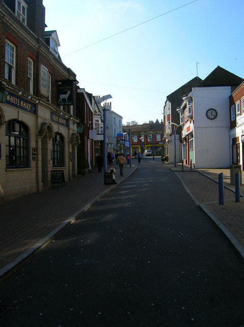
Image: © Simon Carey Taken: 23 Oct 2007
Once the A259 until the northern and southern ring roads were built in the late 1970s and the main shopping street became pedestrianised. However, over the years the major shops have moved out and the High Street became run down with many boarded up shops. Traffic was allowed back into the High Street a few years ago but even at midday the place looks very underpopulated. Unlike Dieppe where there are a number of things to keep you in the town on a day trip, for those coming from France, Newhaven is place to get off the ferry and onto a train to head to Lewes or Brighton and therein lies the problem the town has.
Images are licensed for reuse under creativecommons.org/licenses/by-sa/2.0
Image Location
Latitude
50.793993
Longitude
0.048182