Old River Ouse
Introduction
The photograph on this page of Old River Ouse by Simon Carey as part of the Geograph project.
The Geograph project started in 2005 with the aim of publishing, organising and preserving representative images for every square kilometre of Great Britain, Ireland and the Isle of Man.

There are currently over 7.5m images from over 14,400 individuals and you can help contribute to the project by visiting https://www.geograph.org.uk
Old River Ouse
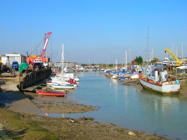
Image: © Simon Carey Taken: 23 Oct 2007
The original course of the river until a new cut was added in the late 19th century which formed Denton Island to the right. Consequently, when the tide is out this part is no more than a trickle in a sea of mud.
Images are licensed for reuse under creativecommons.org/licenses/by-sa/2.0
Image Location


Leaflet Map data © OpenStreetMap
Latitude
50.796619
Longitude
0.047161