At the approach to Doddington
Introduction
The photograph on this page of At the approach to Doddington by Marathon as part of the Geograph project.
The Geograph project started in 2005 with the aim of publishing, organising and preserving representative images for every square kilometre of Great Britain, Ireland and the Isle of Man.

There are currently over 7.5m images from over 14,400 individuals and you can help contribute to the project by visiting https://www.geograph.org.uk
At the approach to Doddington
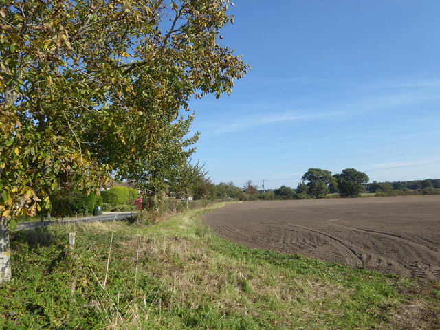
Image: © Marathon Taken: 29 Sep 2018
Lincoln Road is to the left of the hedge which is at the southern edge of the village of Doddington.
Images are licensed for reuse under creativecommons.org/licenses/by-sa/2.0
Image Location
Latitude
53.217867
Longitude
-0.64955