Glencairn Road
Introduction
The photograph on this page of Glencairn Road by Lairich Rig as part of the Geograph project.
The Geograph project started in 2005 with the aim of publishing, organising and preserving representative images for every square kilometre of Great Britain, Ireland and the Isle of Man.

There are currently over 7.5m images from over 14,400 individuals and you can help contribute to the project by visiting https://www.geograph.org.uk
Glencairn Road
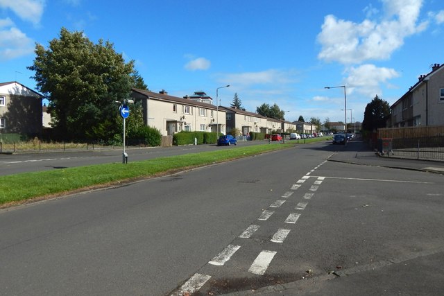
Image: © Lairich Rig Taken: 22 Sep 2018
In the right foreground is the junction with Bargarron Drive, which continues on the other side of Glencairn Road: see Image, which, in relation to the present picture, is a view to the left from the blue sign on the grassy island in the middle of the road, left of centre.
Images are licensed for reuse under creativecommons.org/licenses/by-sa/2.0
Image Location
Latitude
55.858999
Longitude
-4.412512