Residential development beside Christie Lane
Introduction
The photograph on this page of Residential development beside Christie Lane by Lairich Rig as part of the Geograph project.
The Geograph project started in 2005 with the aim of publishing, organising and preserving representative images for every square kilometre of Great Britain, Ireland and the Isle of Man.

There are currently over 7.5m images from over 14,400 individuals and you can help contribute to the project by visiting https://www.geograph.org.uk
Residential development beside Christie Lane
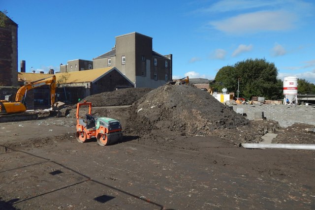
Image: © Lairich Rig Taken: 22 Sep 2018
The view is from the western end of the Abercorn Bridge. 32 flats and associated parking will be built here on the former site of Carnegie's (a pub and nightclub), to the south of Christie Lane.
Images are licensed for reuse under creativecommons.org/licenses/by-sa/2.0
Image Location
Latitude
55.847917
Longitude
-4.423008