Wallneuk North Church
Introduction
The photograph on this page of Wallneuk North Church by Lairich Rig as part of the Geograph project.
The Geograph project started in 2005 with the aim of publishing, organising and preserving representative images for every square kilometre of Great Britain, Ireland and the Isle of Man.

There are currently over 7.5m images from over 14,400 individuals and you can help contribute to the project by visiting https://www.geograph.org.uk
Wallneuk North Church
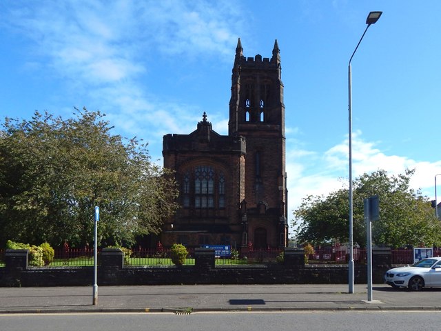
Image: © Lairich Rig Taken: 22 Sep 2018
For earlier pictures by other contributors, see Image / Image / Image / Image The name Wallneuk, for the area, is an old one, and presumably refers to the fact that it was beside the NE corner of Abbot Shaw's Great Wall around the monastery grounds (the monastery being the forerunner of Paisley Abbey). The manuscript map — https://maps.nls.uk/pont/view/?id=pont33#zoom=5&lat=2296&lon=3639&layers=BT (at NLS) — Pont 33, dating from sometime around 1600, shows this.
Images are licensed for reuse under creativecommons.org/licenses/by-sa/2.0
Image Location
Latitude
55.848496
Longitude
-4.420967