Paths at Myrtle Grove Farm
Introduction
The photograph on this page of Paths at Myrtle Grove Farm by Chris Thomas-Atkin as part of the Geograph project.
The Geograph project started in 2005 with the aim of publishing, organising and preserving representative images for every square kilometre of Great Britain, Ireland and the Isle of Man.

There are currently over 7.5m images from over 14,400 individuals and you can help contribute to the project by visiting https://www.geograph.org.uk
Paths at Myrtle Grove Farm
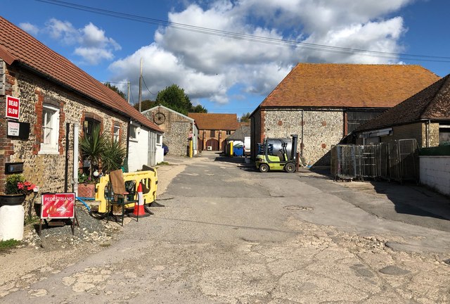
Image: © Chris Thomas-Atkin Taken: 1 Oct 2018
On the Monarchs Way passing through the farmyard and at the point where a public footpath heads north between the farm buildings.
Images are licensed for reuse under creativecommons.org/licenses/by-sa/2.0
Image Location


Leaflet Map data © OpenStreetMap
Latitude
50.86564
Longitude
-0.451614