Site of demolished former Blaenrhondda station
Introduction
The photograph on this page of Site of demolished former Blaenrhondda station by Jaggery as part of the Geograph project.
The Geograph project started in 2005 with the aim of publishing, organising and preserving representative images for every square kilometre of Great Britain, Ireland and the Isle of Man.

There are currently over 7.5m images from over 14,400 individuals and you can help contribute to the project by visiting https://www.geograph.org.uk
Site of demolished former Blaenrhondda station
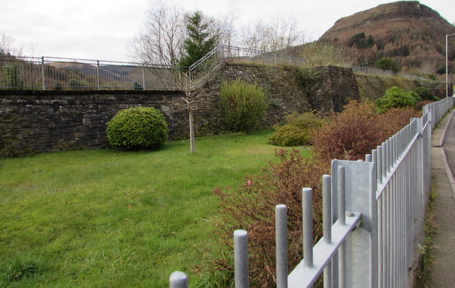
Image: © Jaggery Taken: 13 Nov 2017
Viewed from the edge of the B4522 in Tynewydd. The station was on the route from Treherbert to Swansea via Neath. The station and line were closed in 1968. The nearest railway station is now Treherbert, the terminus of the Rhondda Line from Cardiff Central. Treherbert station is about 1.2km to the southeast.
Images are licensed for reuse under creativecommons.org/licenses/by-sa/2.0
Image Location
Latitude
51.679819
Longitude
-3.54813