Buried Buckhaven!
Introduction
The photograph on this page of Buried Buckhaven! by Bill Kasman as part of the Geograph project.
The Geograph project started in 2005 with the aim of publishing, organising and preserving representative images for every square kilometre of Great Britain, Ireland and the Isle of Man.

There are currently over 7.5m images from over 14,400 individuals and you can help contribute to the project by visiting https://www.geograph.org.uk
Buried Buckhaven!
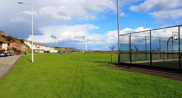
Image: © Bill Kasman Taken: 23 Sep 2018
The plaque visible in this image Image tells what lies underneath this pleasant green area with a children's playpark and a basketball court.
Images are licensed for reuse under creativecommons.org/licenses/by-sa/2.0
Image Location
Latitude
56.169345
Longitude
-3.032904