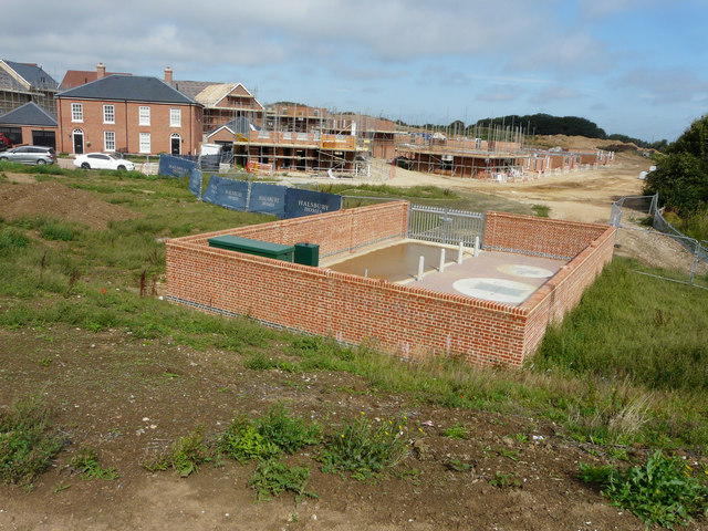
The development of Richmond Park
Introduction
The photograph on this page of The development of Richmond Park by John Baker as part of the Geograph project.
The Geograph project started in 2005 with the aim of publishing, organising and preserving representative images for every square kilometre of Great Britain, Ireland and the Isle of Man.
There are currently over 7.5m images from over 14,400 individuals and you can help contribute to the project by visiting https://www.geograph.org.uk

Image: © John Baker Taken: 19 Aug 2018
Planning permission was granted by Dover District Council under application number DOV/10/01010 for an “outline planning application for the construction of up to 1,400 units, comprising a mix of 2-5 bed units, 66 bed care home (Class C2) and supported living units, with vehicular access off the A256; provision of new 420 place 2FE primary school including early years provision, energy centre and local centre comprising up to 250sqm of retail space (Class A1-A3) along with all associated access arrangements, car parking, infrastructure and landscaping, with all matters (except the means of access off the A256) reserved for future consideration (revised proposals)”. The description of the location was Phase 1, Whitfield Urban Extension, (land southeast of Archer’s Court Road). This image shows Image in January 2019. The site has been named Richmond Park by Halsbury Homes http://www.halsburyhomes.com/richmond-park/

