Pymme's Brook Trail in Brunswick Park
Introduction
The photograph on this page of Pymme's Brook Trail in Brunswick Park by Des Blenkinsopp as part of the Geograph project.
The Geograph project started in 2005 with the aim of publishing, organising and preserving representative images for every square kilometre of Great Britain, Ireland and the Isle of Man.

There are currently over 7.5m images from over 14,400 individuals and you can help contribute to the project by visiting https://www.geograph.org.uk
Pymme's Brook Trail in Brunswick Park
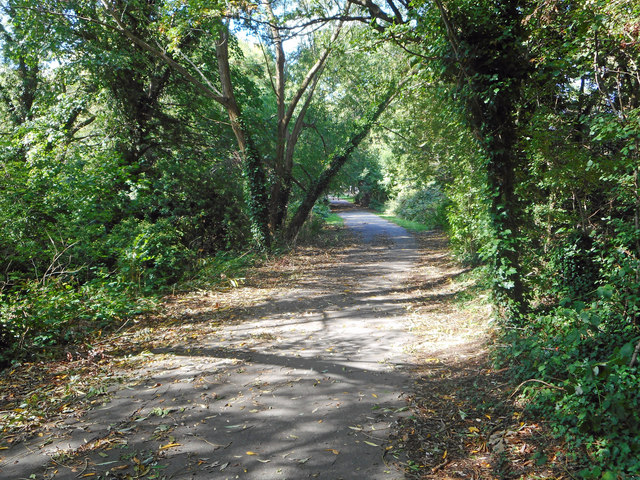
Image: © Des Blenkinsopp Taken: 25 Sep 2018
Pymme's Brook is named after William Pymme a local landowner between 1307-1327. It is a tributary of the River Lea. A long distance path, the Pymme's Brook Trail follows the course of the stream for 16km from Monken Hadley Common to Edmonton. This section of the path is called the Waterfall Walk and the brook, which is hidden behind trees for much of the way, is more often heard than seen.
Images are licensed for reuse under creativecommons.org/licenses/by-sa/2.0
Image Location
Latitude
51.624583
Longitude
-0.139865