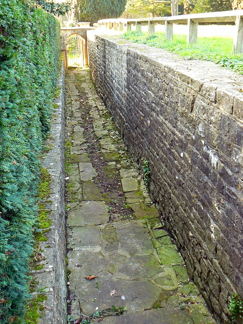
Private path to Holy Rood church, The Lawn, Swindon
Introduction
The photograph on this page of Private path to Holy Rood church, The Lawn, Swindon by Brian Robert Marshall as part of the Geograph project.
The Geograph project started in 2005 with the aim of publishing, organising and preserving representative images for every square kilometre of Great Britain, Ireland and the Isle of Man.
There are currently over 7.5m images from over 14,400 individuals and you can help contribute to the project by visiting https://www.geograph.org.uk

Image: © Brian Robert Marshall Taken: 23 Oct 2007
Before the church closed in the early 1850s the lord of the manor and his retinue would use this sunken path from the big house that was situated on the ground to the right. The house lasted a further 100 years until it was demolished in 1952 after being thoroughly trashed during the war when the military authorities had possession of it.

