Bench mark below Fron Hen, Llanferres
Introduction
The photograph on this page of Bench mark below Fron Hen, Llanferres by John S Turner as part of the Geograph project.
The Geograph project started in 2005 with the aim of publishing, organising and preserving representative images for every square kilometre of Great Britain, Ireland and the Isle of Man.

There are currently over 7.5m images from over 14,400 individuals and you can help contribute to the project by visiting https://www.geograph.org.uk
Bench mark below Fron Hen, Llanferres
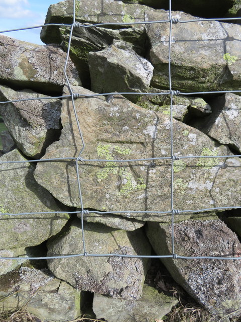
Image: © John S Turner Taken: 29 Sep 2018
This Ordnance Survey bench mark is cut into a dry stone wall alongside a track below Fron Hen. The wall to the left has collapsed, so the cut mark may soon go the same way - Image
Images are licensed for reuse under creativecommons.org/licenses/by-sa/2.0
Image Location
Latitude
53.139376
Longitude
-3.226366