Marmion Tower
Introduction
The photograph on this page of Marmion Tower by Malcolm Neal as part of the Geograph project.
The Geograph project started in 2005 with the aim of publishing, organising and preserving representative images for every square kilometre of Great Britain, Ireland and the Isle of Man.

There are currently over 7.5m images from over 14,400 individuals and you can help contribute to the project by visiting https://www.geograph.org.uk
Marmion Tower
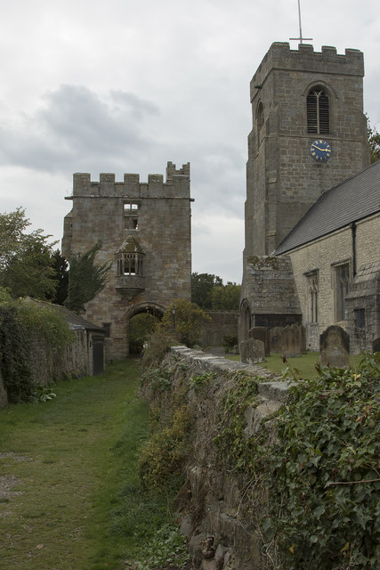
Image: © Malcolm Neal Taken: 1 Oct 2018
The church of St, Nicholas on the right and the remains of the Marmion Tower on the left. You can climb the spiral stairs to the viewing floor of the tower and get good views to the east and west.
Images are licensed for reuse under creativecommons.org/licenses/by-sa/2.0
Image Location
Latitude
54.203536
Longitude
-1.591571