Farmland near Dunchideock
Introduction
The photograph on this page of Farmland near Dunchideock by Derek Harper as part of the Geograph project.
The Geograph project started in 2005 with the aim of publishing, organising and preserving representative images for every square kilometre of Great Britain, Ireland and the Isle of Man.

There are currently over 7.5m images from over 14,400 individuals and you can help contribute to the project by visiting https://www.geograph.org.uk
Farmland near Dunchideock
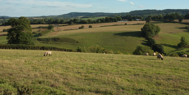
Image: © Derek Harper Taken: 25 Sep 2018
From the same place as Image], looking left with overlap. The houses across the valley are along the lane from nastree Cross to Webberton Cross; right of centre is the building as the Old Post Office http://www.geograph.org.uk/search.php?i=87685133 .
Images are licensed for reuse under creativecommons.org/licenses/by-sa/2.0
Image Location
Latitude
50.678111
Longitude
-3.589377