Pond (2), former golf course, Oakdale
Introduction
The photograph on this page of Pond (2), former golf course, Oakdale by M J Roscoe as part of the Geograph project.
The Geograph project started in 2005 with the aim of publishing, organising and preserving representative images for every square kilometre of Great Britain, Ireland and the Isle of Man.

There are currently over 7.5m images from over 14,400 individuals and you can help contribute to the project by visiting https://www.geograph.org.uk
Pond (2), former golf course, Oakdale
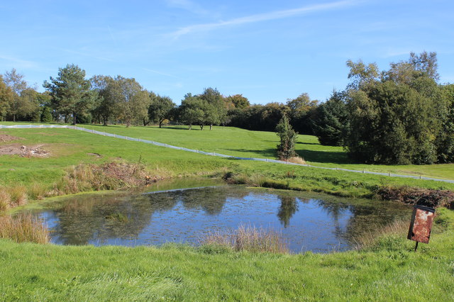
Image: © M J Roscoe Taken: 29 Sep 2018
Another view of the small pond Image; the trees and bushes around it have removed and the pond will disappear as it will be part of a housing estate. The low plastic fencing marks the edge of the current development and is designed to exclude reptiles from the site.
Images are licensed for reuse under creativecommons.org/licenses/by-sa/2.0
Image Location
Latitude
51.676086
Longitude
-3.171679