Brown Street North
Introduction
The photograph on this page of Brown Street North by Lairich Rig as part of the Geograph project.
The Geograph project started in 2005 with the aim of publishing, organising and preserving representative images for every square kilometre of Great Britain, Ireland and the Isle of Man.

There are currently over 7.5m images from over 14,400 individuals and you can help contribute to the project by visiting https://www.geograph.org.uk
Brown Street North
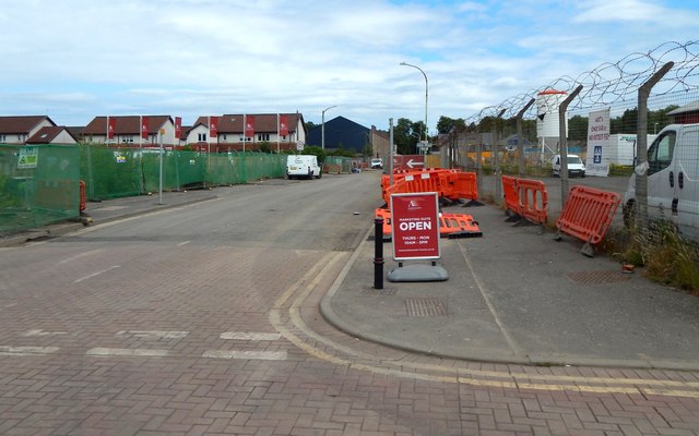
Image: © Lairich Rig Taken: 7 Jul 2018
To the left is the construction site of a housing development called Maitland Gardens: Image
Images are licensed for reuse under creativecommons.org/licenses/by-sa/2.0
Image Location
Latitude
55.873361
Longitude
-4.399654