King's Cottages
Introduction
The photograph on this page of King's Cottages by Thomas Nugent as part of the Geograph project.
The Geograph project started in 2005 with the aim of publishing, organising and preserving representative images for every square kilometre of Great Britain, Ireland and the Isle of Man.

There are currently over 7.5m images from over 14,400 individuals and you can help contribute to the project by visiting https://www.geograph.org.uk
King's Cottages
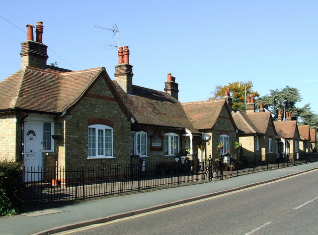
Image: © Thomas Nugent Taken: 19 Oct 2007
Showing three of the cottage blocks on South Road. Read about the cottages here http://www.stortfordhistory.co.uk/guide13/south_street.html#kingscottages
Images are licensed for reuse under creativecommons.org/licenses/by-sa/2.0
Image Location
Latitude
51.862903
Longitude
0.163478