B6532 entering Daisy Hill
Introduction
The photograph on this page of B6532 entering Daisy Hill by Trevor Littlewood as part of the Geograph project.
The Geograph project started in 2005 with the aim of publishing, organising and preserving representative images for every square kilometre of Great Britain, Ireland and the Isle of Man.

There are currently over 7.5m images from over 14,400 individuals and you can help contribute to the project by visiting https://www.geograph.org.uk
B6532 entering Daisy Hill
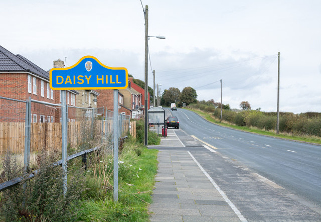
Image: © Trevor Littlewood Taken: 1 Oct 2018
Daisy Hill lies between Edmondsley and Sacriston; the road is entering from the south. The road sign in blue and yellow is in colours widely used in County Durham for such notices.
Images are licensed for reuse under creativecommons.org/licenses/by-sa/2.0
Image Location
Latitude
54.82933
Longitude
-1.629648