Peddars Way crossing Roudham Heath
Introduction
The photograph on this page of Peddars Way crossing Roudham Heath by Martin Dawes as part of the Geograph project.
The Geograph project started in 2005 with the aim of publishing, organising and preserving representative images for every square kilometre of Great Britain, Ireland and the Isle of Man.

There are currently over 7.5m images from over 14,400 individuals and you can help contribute to the project by visiting https://www.geograph.org.uk
Peddars Way crossing Roudham Heath
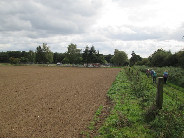
Image: © Martin Dawes Taken: 15 Sep 2018
Approaching on the left the Gas Pressure Reduction Station
Images are licensed for reuse under creativecommons.org/licenses/by-sa/2.0
Image Location
Latitude
52.460831
Longitude
0.841007