Doorie Hill
Introduction
The photograph on this page of Doorie Hill by valenta as part of the Geograph project.
The Geograph project started in 2005 with the aim of publishing, organising and preserving representative images for every square kilometre of Great Britain, Ireland and the Isle of Man.

There are currently over 7.5m images from over 14,400 individuals and you can help contribute to the project by visiting https://www.geograph.org.uk
Doorie Hill
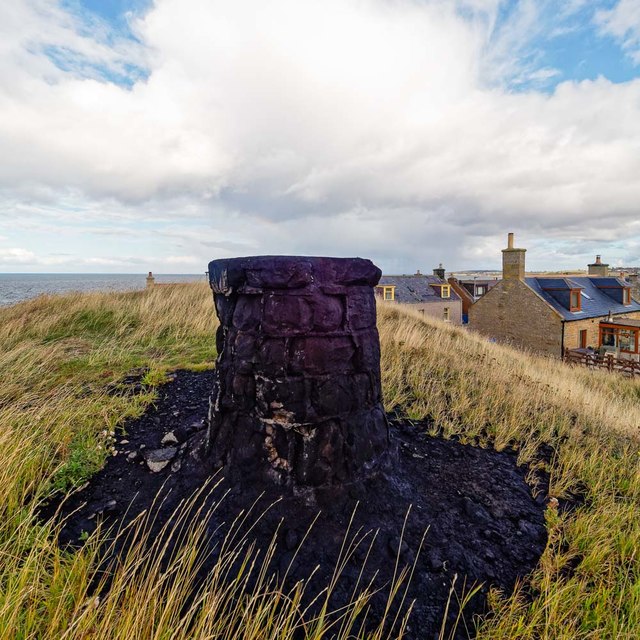
Image: © valenta Taken: 22 Sep 2018
The destination of the flaming Clavie ceremony which takes place every year on the 11th of January http://www.burghead.com/clavie/
Images are licensed for reuse under creativecommons.org/licenses/by-sa/2.0
Image Location
Latitude
57.703038
Longitude
-3.495541