Grassland at Broughton Braygate
Introduction
The photograph on this page of Grassland at Broughton Braygate by Gordon Hatton as part of the Geograph project.
The Geograph project started in 2005 with the aim of publishing, organising and preserving representative images for every square kilometre of Great Britain, Ireland and the Isle of Man.

There are currently over 7.5m images from over 14,400 individuals and you can help contribute to the project by visiting https://www.geograph.org.uk
Grassland at Broughton Braygate
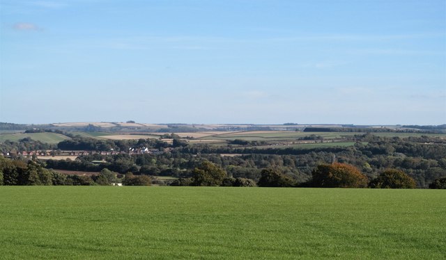
Image: © Gordon Hatton Taken: 29 Sep 2018
An open area of grassland close to Malton. Some 600m away, but hidden below the slope of the hill, is the busy A64, whilst in the distance rise the chalk Wolds of the East Riding.
Images are licensed for reuse under creativecommons.org/licenses/by-sa/2.0
Image Location
Latitude
54.13033
Longitude
-0.830023