Lanarkshire and Dunbartonshire Railway Trackbed
Introduction
The photograph on this page of Lanarkshire and Dunbartonshire Railway Trackbed by Raymond Okonski as part of the Geograph project.
The Geograph project started in 2005 with the aim of publishing, organising and preserving representative images for every square kilometre of Great Britain, Ireland and the Isle of Man.

There are currently over 7.5m images from over 14,400 individuals and you can help contribute to the project by visiting https://www.geograph.org.uk
Lanarkshire and Dunbartonshire Railway Trackbed
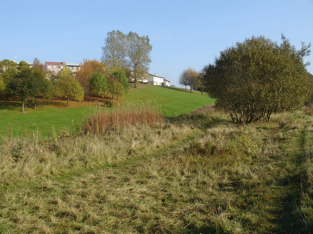
Image: © Raymond Okonski Taken: 23 Oct 2007
This rough terrain is the route (on an embankment) of the old Lanarkshire and Dunbartonshire Railway, which linked Maryhill Central to Springburn Park goods station (Located adjacent to Farmfoods close to Balgrayhill Rd)). No formal path exists, but it is possible to follow the route all the way to Stobhill Hospital.
Images are licensed for reuse under creativecommons.org/licenses/by-sa/2.0
Image Location
Latitude
55.892692
Longitude
-4.237069