High Bickington Church of England Primary School
Introduction
The photograph on this page of High Bickington Church of England Primary School by Chris Brown as part of the Geograph project.
The Geograph project started in 2005 with the aim of publishing, organising and preserving representative images for every square kilometre of Great Britain, Ireland and the Isle of Man.

There are currently over 7.5m images from over 14,400 individuals and you can help contribute to the project by visiting https://www.geograph.org.uk
High Bickington Church of England Primary School
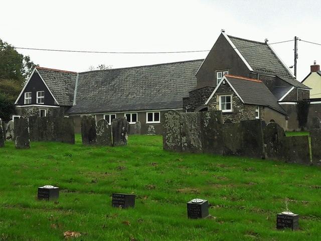
Image: © Chris Brown Taken: 28 Sep 2018
Seen from the churchyard, the school appears to seal it off from the centre of the village.
Images are licensed for reuse under creativecommons.org/licenses/by-sa/2.0
Image Location
Latitude
50.967029
Longitude
-3.995721