Rochdale Road East
Introduction
The photograph on this page of Rochdale Road East by JThomas as part of the Geograph project.
The Geograph project started in 2005 with the aim of publishing, organising and preserving representative images for every square kilometre of Great Britain, Ireland and the Isle of Man.

There are currently over 7.5m images from over 14,400 individuals and you can help contribute to the project by visiting https://www.geograph.org.uk
Rochdale Road East
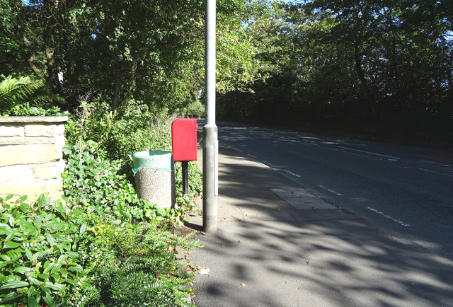
Image: © JThomas Taken: 25 Sep 2018
Looking north east on the A58 showing position of Postbox No. OL10 173. See Image] for postbox.
Images are licensed for reuse under creativecommons.org/licenses/by-sa/2.0
Image Location


Leaflet Map data © OpenStreetMap
Latitude
53.601197
Longitude
-2.19272