Bus stop and shelter in Pentwyn
Introduction
The photograph on this page of Bus stop and shelter in Pentwyn by Jaggery as part of the Geograph project.
The Geograph project started in 2005 with the aim of publishing, organising and preserving representative images for every square kilometre of Great Britain, Ireland and the Isle of Man.

There are currently over 7.5m images from over 14,400 individuals and you can help contribute to the project by visiting https://www.geograph.org.uk
Bus stop and shelter in Pentwyn
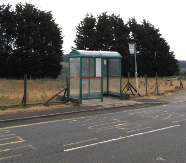
Image: © Jaggery Taken: 11 Jul 2018
Located near the Mount Pleasant https://www.geograph.org.uk/photo/5922903 this stop is for buses to Bargoed via Deri.
Images are licensed for reuse under creativecommons.org/licenses/by-sa/2.0
Image Location
Latitude
51.732299
Longitude
-3.298535