Site of Clayton Junction
Introduction
The photograph on this page of Site of Clayton Junction by Dr Neil Clifton as part of the Geograph project.
The Geograph project started in 2005 with the aim of publishing, organising and preserving representative images for every square kilometre of Great Britain, Ireland and the Isle of Man.

There are currently over 7.5m images from over 14,400 individuals and you can help contribute to the project by visiting https://www.geograph.org.uk
Site of Clayton Junction
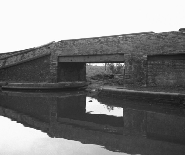
Image: © Dr Neil Clifton Taken: 12 Apr 1981
This was the junction where the Stockport Branch led off from the main Ashton Canal, a distance of almost four miles to Stockport in Cheshire. I do not know the official date of closure of this branch, but I suspect it did not see any boats after World War II, although a correspondent recalls that it was still in water at least as far as Gorton until the early 1960s. The branch has now been filled in.
Images are licensed for reuse under creativecommons.org/licenses/by-sa/2.0
Image Location
Latitude
53.480478
Longitude
-2.179122