Canada Road
Introduction
The photograph on this page of Canada Road by Robin Webster as part of the Geograph project.
The Geograph project started in 2005 with the aim of publishing, organising and preserving representative images for every square kilometre of Great Britain, Ireland and the Isle of Man.

There are currently over 7.5m images from over 14,400 individuals and you can help contribute to the project by visiting https://www.geograph.org.uk
Canada Road
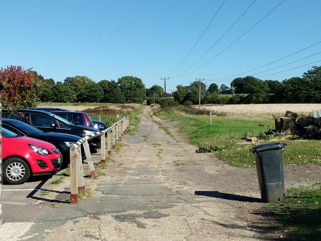
Image: © Robin Webster Taken: 27 Sep 2018
This disused WWII military road heads away from East Surrey Hospital, which came much later. It is here a public footpath. A great waste of a lot of hard work by the Canadian Army.
Images are licensed for reuse under creativecommons.org/licenses/by-sa/2.0
Image Location
Latitude
51.220501
Longitude
-0.159924