Old Mine Chimney on Polcrebo Downs
Introduction
The photograph on this page of Old Mine Chimney on Polcrebo Downs by Matthew Hatton as part of the Geograph project.
The Geograph project started in 2005 with the aim of publishing, organising and preserving representative images for every square kilometre of Great Britain, Ireland and the Isle of Man.

There are currently over 7.5m images from over 14,400 individuals and you can help contribute to the project by visiting https://www.geograph.org.uk
Old Mine Chimney on Polcrebo Downs
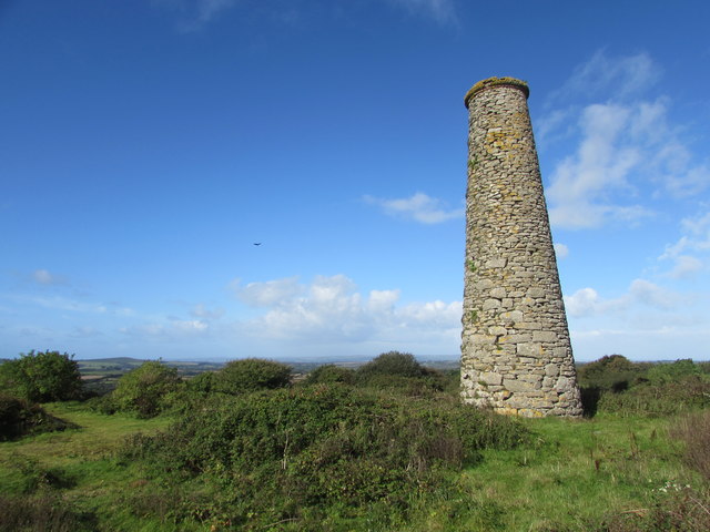
Image: © Matthew Hatton Taken: 21 Sep 2018
On an area of open access moorland are the remains of an old tin mine.
Images are licensed for reuse under creativecommons.org/licenses/by-sa/2.0
Image Location
Latitude
50.151347
Longitude
-5.294881