Farm track, Yafforth
Introduction
The photograph on this page of Farm track, Yafforth by Gordon Hatton as part of the Geograph project.
The Geograph project started in 2005 with the aim of publishing, organising and preserving representative images for every square kilometre of Great Britain, Ireland and the Isle of Man.

There are currently over 7.5m images from over 14,400 individuals and you can help contribute to the project by visiting https://www.geograph.org.uk
Farm track, Yafforth
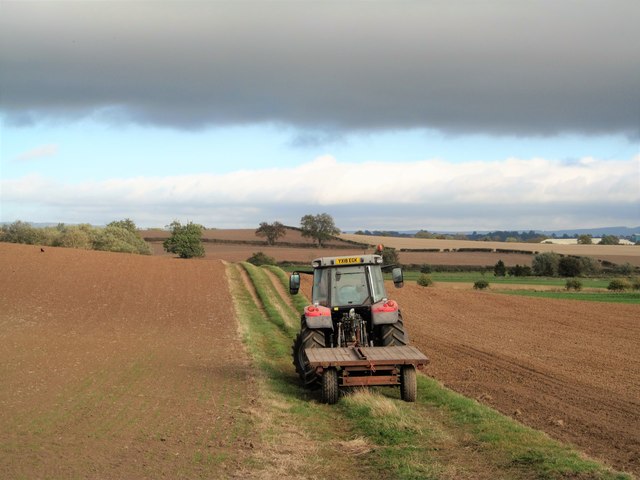
Image: © Gordon Hatton Taken: 26 Sep 2018
Looking east across the gently undulating countryside of the Vale of Mowbray near to Northallerton. In September the colours are green and brown, any cereal fields having long since been harvested and subsequently ploughed.
Images are licensed for reuse under creativecommons.org/licenses/by-sa/2.0
Image Location
Latitude
54.351269
Longitude
-1.471027