West Bridgford: Rivermead, Wilford Lane
Introduction
The photograph on this page of West Bridgford: Rivermead, Wilford Lane by John Sutton as part of the Geograph project.
The Geograph project started in 2005 with the aim of publishing, organising and preserving representative images for every square kilometre of Great Britain, Ireland and the Isle of Man.

There are currently over 7.5m images from over 14,400 individuals and you can help contribute to the project by visiting https://www.geograph.org.uk
West Bridgford: Rivermead, Wilford Lane
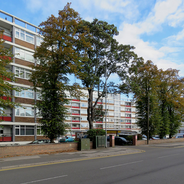
Image: © John Sutton Taken: 26 Sep 2018
These blocks were built in the 1960s. This is the Wilford Lane side - the flats with river views are on the far side.
Images are licensed for reuse under creativecommons.org/licenses/by-sa/2.0
Image Location
Latitude
52.931081
Longitude
-1.141415