Field by the Beadon Brook
Introduction
The photograph on this page of Field by the Beadon Brook by Derek Harper as part of the Geograph project.
The Geograph project started in 2005 with the aim of publishing, organising and preserving representative images for every square kilometre of Great Britain, Ireland and the Isle of Man.

There are currently over 7.5m images from over 14,400 individuals and you can help contribute to the project by visiting https://www.geograph.org.uk
Field by the Beadon Brook
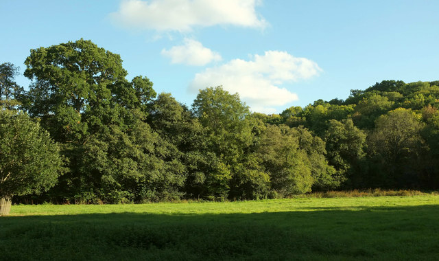
Image: © Derek Harper Taken: 25 Sep 2018
The stream flows past the trees across the meadow. Seen from the road from Brandiron Cross to Doghole Bridge. Emmett Copse rises behind.
Images are licensed for reuse under creativecommons.org/licenses/by-sa/2.0
Image Location
Latitude
50.622745
Longitude
-3.638829