The old route of the Dramway
Introduction
The photograph on this page of The old route of the Dramway by Neil Owen as part of the Geograph project.
The Geograph project started in 2005 with the aim of publishing, organising and preserving representative images for every square kilometre of Great Britain, Ireland and the Isle of Man.

There are currently over 7.5m images from over 14,400 individuals and you can help contribute to the project by visiting https://www.geograph.org.uk
The old route of the Dramway
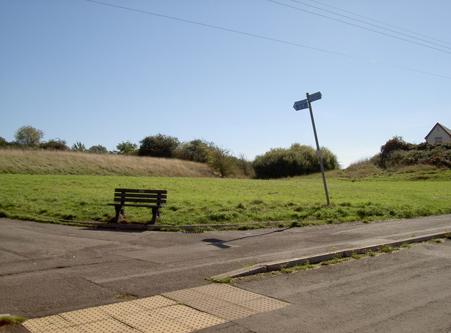
Image: © Neil Owen Taken: 26 Sep 2018
This open patch of land seems a rather uninspiring place for a bench seat, being in a rather quiet and unremarkable part of Siston Common. However, just beyond it was the route of the old Dramway - a horse-drawn railway line linking the local collieries with the River Avon to the south.
Images are licensed for reuse under creativecommons.org/licenses/by-sa/2.0
Image Location
Latitude
51.467205
Longitude
-2.48466