Field near Stanbridge Ranvilles Farm
Introduction
The photograph on this page of Field near Stanbridge Ranvilles Farm by David Martin as part of the Geograph project.
The Geograph project started in 2005 with the aim of publishing, organising and preserving representative images for every square kilometre of Great Britain, Ireland and the Isle of Man.

There are currently over 7.5m images from over 14,400 individuals and you can help contribute to the project by visiting https://www.geograph.org.uk
Field near Stanbridge Ranvilles Farm
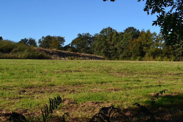
Image: © David Martin Taken: 26 Sep 2018
The earth bank on the left conceals an area of sand and gravel quarry which is not yet reflected in the OS mapping.
Images are licensed for reuse under creativecommons.org/licenses/by-sa/2.0
Image Location
Latitude
50.998085
Longitude
-1.534252