Uckfield, New Town - Framfield Road
Introduction
The photograph on this page of Uckfield, New Town - Framfield Road by Nigel Freeman as part of the Geograph project.
The Geograph project started in 2005 with the aim of publishing, organising and preserving representative images for every square kilometre of Great Britain, Ireland and the Isle of Man.

There are currently over 7.5m images from over 14,400 individuals and you can help contribute to the project by visiting https://www.geograph.org.uk
Uckfield, New Town - Framfield Road
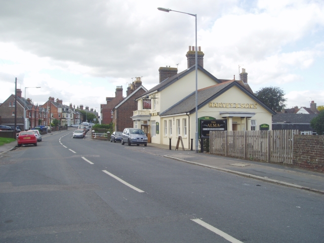
Image: © Nigel Freeman Taken: 29 Sep 2005
The Alma public house is on the right serving Harveys of Lewes beer
Images are licensed for reuse under creativecommons.org/licenses/by-sa/2.0
Image Location


Leaflet Map data © OpenStreetMap
Latitude
50.965919
Longitude
0.100598