Path past Dyersmead
Introduction
The photograph on this page of Path past Dyersmead by Derek Harper as part of the Geograph project.
The Geograph project started in 2005 with the aim of publishing, organising and preserving representative images for every square kilometre of Great Britain, Ireland and the Isle of Man.

There are currently over 7.5m images from over 14,400 individuals and you can help contribute to the project by visiting https://www.geograph.org.uk
Path past Dyersmead
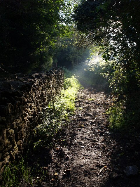
Image: © Derek Harper Taken: 19 Oct 2007
This path climbs the southern slopes of the Slad valley from the New Mills Trading Estate to Summer Street. Here it approaches the edge of the square, with a limestone wall on the left.
Images are licensed for reuse under creativecommons.org/licenses/by-sa/2.0
Image Location
Latitude
51.748108
Longitude
-2.204625