A field with some horses
Introduction
The photograph on this page of A field with some horses by Hywel Williams as part of the Geograph project.
The Geograph project started in 2005 with the aim of publishing, organising and preserving representative images for every square kilometre of Great Britain, Ireland and the Isle of Man.

There are currently over 7.5m images from over 14,400 individuals and you can help contribute to the project by visiting https://www.geograph.org.uk
A field with some horses
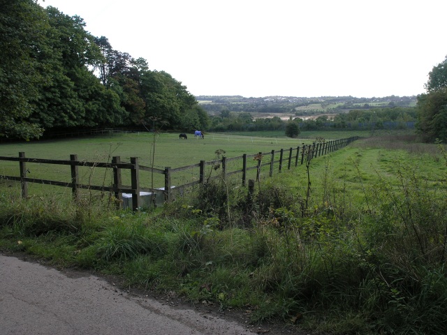
Image: © Hywel Williams Taken: 29 Sep 2005
This picture sums up this square neatly. The northern third of the square contains some very large houses, interspersed with some paddocks with horses. Then, the square is sliced neatly by the M25. Beyond that are some trees before the ground turns into the desolate wastes of a sand pit. The sand pit is relatively new and isn't reflected on Ordnance Survey maps - much of the south of the square has completely changed - a lane entitled Green Lane Track is no longer there neither it seems is the copse entitled Big Pickle.
Images are licensed for reuse under creativecommons.org/licenses/by-sa/2.0
Image Location


Leaflet Map data © OpenStreetMap
Latitude
51.259755
Longitude
-0.095293